The territory of Monteleone di Spoleto offers a network of hiking itineraries that cross natural environments and places of significant historical and archaeological interest. The routes wind through villages, hamlets, and mountain ridges, following ancient connections, footpaths, and dirt roads. The itineraries that make up this hiking network include:
The Iron Route (La Via del Ferro)
Discovering the old iron mines of Terrargo on Mount Birbone.
The route starts in Monteleone di Spoleto (978 m a.s.l.). Following ancient shortcuts, you reach the farmhouse La Villa, then the hamlet of Butino, and continue along a dirt road to the Baiocco farmhouse (1,099 m), near which the remains of the Vetranola fortress can be seen. From here, following the ancient Iron Route, you climb to the Terrargo spring and continue on to the mine caves (1,298 m), which can only be visited at the entrances but are highly evocative. Crossing gently ascending pastureland, you reach the dirt road leading to Forca di Capo la Valle, then continue through beech forests to Mount Motola (1,522 m), where there is a rest area ideal for a packed lunch. From here, you reach the summit (1,573 m), offering an extraordinary panoramic view.
The Castelliere
(Selva Grossa, Trivio hamlet)
The route starts from the Church of Sant’Erasmo in the hamlet of Trivio. You take the municipal road and descend on the right-hand side toward the Castelliere, a pre-Roman fortress dating back to the 7th–8th century BC. You arrive at Selva Grossa, from where it is possible to admire Monteleone and its surrounding territory, as well as the remains of the Castelliere walls. As the area is free from light pollution, it is particularly suitable for astronomical observation.
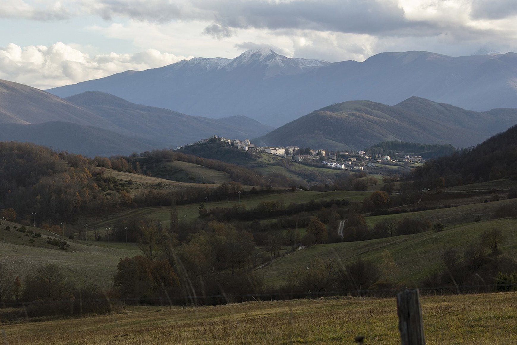
The Captain’s Route (La Via del Capitano)
(Mount Pizzoro, 1,012 m a.s.l., Colle del Capitano area)
The route starts from Monteleone di Spoleto (978 m a.s.l.). Passing through the narrow streets of the village, you exit through Porta delle Monache and, skirting the 15th-century walls, reach a mule track descending toward the small church of Santa Lucia (765 m). After a short stretch along the paved road, you cross a cultivated field and reach an ancient path that climbs Mount Pizzoro (1,012 m). From here, in addition to enjoying a beautiful view over the Corno River valley, you can admire the ruins of the old castle and a pre-Roman stone cistern. The route then descends to the Colle del Capitano farmhouse (942 m), the site where the Biga was discovered (6th century BC, now displayed at the Metropolitan Museum of Art in New York), along with 42 pit graves from the Proto-Villanovan period, whose finds are exhibited at the Archaeological Museum of Spoleto. The route follows various paths, sometimes steep, but takes no more than about 3 hours of walking.
Madonna delle Grazie Park
The route starts from Monteleone di Spoleto (978 m a.s.l.). You exit through Porta Spoletina in the direction of the hamlet of Butino. Before reaching the main settlement of Butino, on the left you will find a junction signposted “Madonna delle Grazie.” Continuing in this direction for about 500 meters, you reach the small church of Madonna delle Grazie. From here, descend to the right through legume fields and Turkey oak woods, then climb toward the Baiocco farmhouse. A spring marks the beginning of the ascent to Mount Birbone. From Forca Capo la Valle, a dirt track continues toward Mount Motola as far as Macchia Rotale. From here, you cross the forest at its narrowest point and reach the Forchetta di Motola pass. Once at the pass, you take a path and begin descending again toward La Presa. After about 1 kilometer, the route reconnects with the road taken on the outward journey.
The Gentian Route (La Via delle Genziane)
(Mount Motola, 1,573 m a.s.l.)
The Small Lake Route (La Via del Laghetto)
(Mount Aspra, 1,652 m a.s.l.)